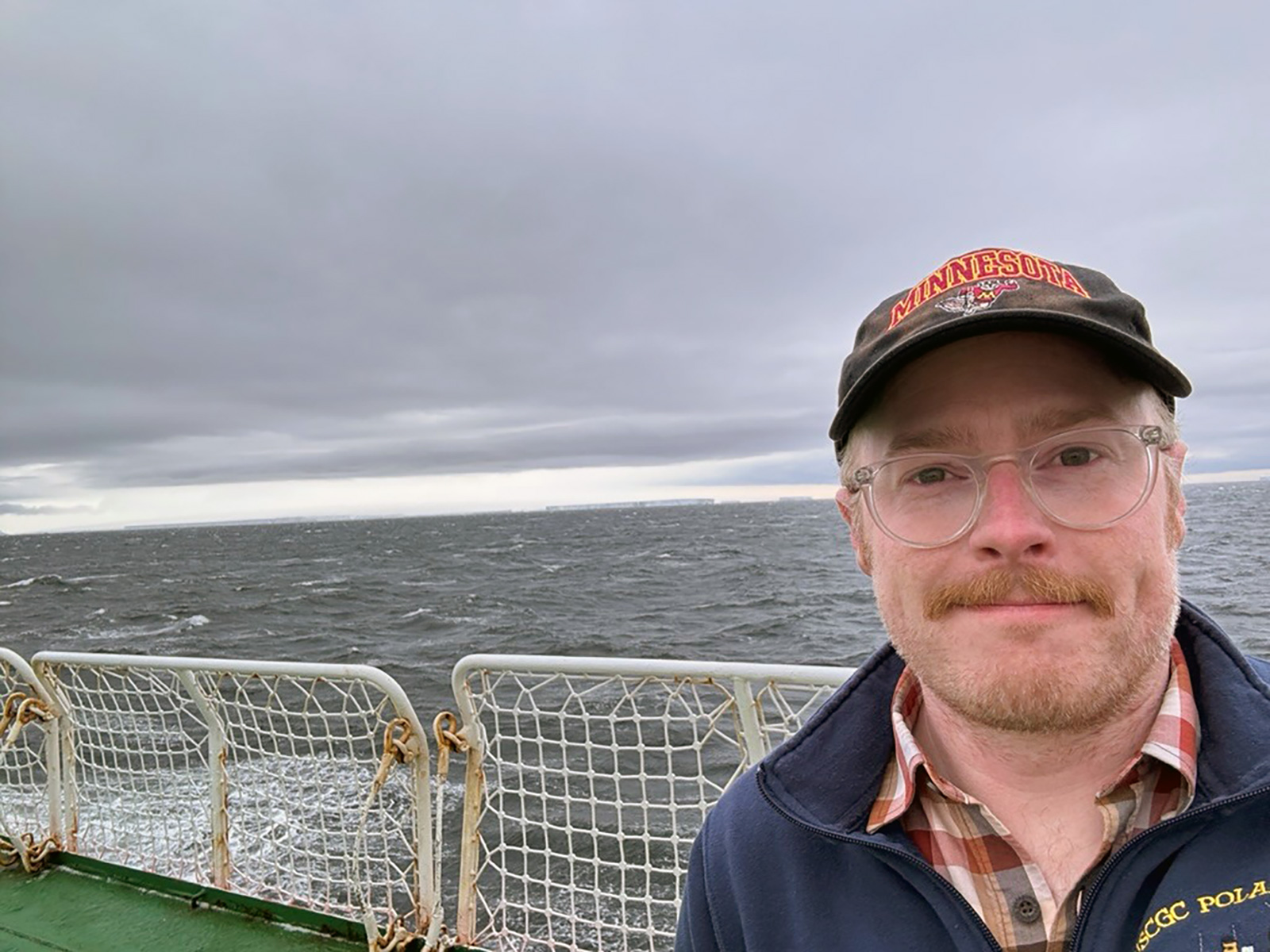
Peter is a glaciologist and climate scientist working primarily to develop glacier ice core records of past climate, environmental conditions, and atmospheric chemistry. Peter’s research focuses on better understanding recent climate of changing coastal regions in West Antarctica. He is the US leader of the “RAICA” effort, a South Korea-US effort to recover ice cores and construct a “Ross-Amundsen Ice Core Array.” Peter is also working to capture the last 200-500 years of hydroclimate variability in southwestern British Columbia, Canada. He recently recovered a 219 meter-long ice core from Mt. Waddington and he is now developing the southernmost annually-resolved ice core paleoclimate record in North America. Peter is the Director of Field Research and Data for the Center for Oldest Ice Exploration (COLDEX), a National Science Foundation Science and Technology Center that seeks to find the oldest possible ice core records of past climate preserved in Antarctica. Peter shares widely about ice core climate science via Twitter, TikTok, and Instagram.
How’d you get into ice?
I am from Vancouver, Washington, so the seed may have been planted just by growing up with Mount St. Helens and Mount Hood – glaciated volcanoes—in the background. I attended the University of Washington, which is a global center for glaciology, and became interested in geology my first semester. I had always loved the outdoors and I realized that by studying geology, I could add a new dimension to that: I could be outside in landscapes and actually understand them. As a sophomore, I began taking advantage of more extracurricular studies, and one day I saw a piece of paper posted in the student center for a lab job involving “possible fieldwork in Greenland and Antarctica.” That was about all I needed to read. I managed to pester Eric Steig, well-known glaciologist, to hire me. He ended up being my master supervisor, and we are still collaborating to this day.
The first thing I worked on was a pilot core that Eric had collected from Mt. Waddington in British Columbia. That became my undergrad honors thesis work, and it led to a National Science Foundation (NSF) proposal to drill again in Mount Waddington. My master’s work was our first attempt to drill down to bedrock on Mt. Waddington, and we were not fully successful. My first project as a primary investigator on an NSF award was the drilling we finished that summer, when we actually did drill to bedrock on Mt. Waddington. Eric and I are both from the Pacific Northwest, so that has become a sort of “home ice core project” for us, and it is incredible to me that we now have a pretty good ice core record, about 100-200 years long, from an area just 300-400 kilometers from Vancouver, BC.
For those unfamiliar with ice core paleoclimatology, what can we learn from ice cores, and how reliable is that information?
The fundamentals of ice core paleoclimatology are what I find fundamentally beautiful. Glaciers, and the largest version of glaciers—ice sheets that we have over Greenland and Antarctica—are just big piles of snow that haven’t melted because they’re high enough in elevation or latitude to stay cold year-round. In the perfect situation, where the ice hasn’t been flowing too fast, like in the center of an ice sheet or the top of a glacier, you should have each year’s snowfall going back in time packed into the ice. Each snowflake that falls grabs little bits and pieces of impurities from the atmosphere, so ice cores can help us measure black carbon (soot from wildfires or smokestacks), examine its chemistry, and gain understanding of the pollutants coming out of our activities as humans.
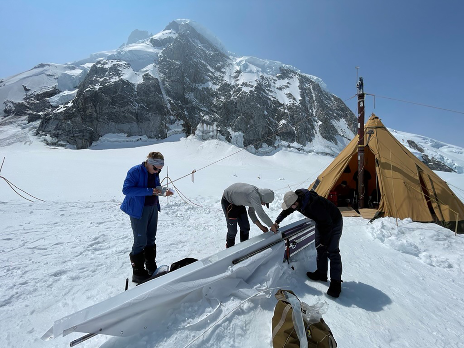
The most precious thing about polar ice core samples, is that once you have snowflakes that are buried about 100 meters deep, the spaces between the fingers of those six-sided snowflakes becomes an air bubble that almost perfectly traps a sample of the atmosphere. That bubble is the most powerful archive we have of direct observations of greenhouse gases going back in time. The ultimate version of that is only in Antarctica, where the snow is clean enough that we have carbon dioxide preserved as well as the other heat-trapping greenhouse gases. That’s work we’re still pushing on with in Antarctica: trying to get more older sequences of ice that can extend our understanding of the heartbeat of earth’s climate system. Carbon dioxide is a very strong control on global temperature and ice mass, and hence global sea level. As ice core scientists, we go back to the past to better understand how the climate system works in its natural state.
What is the ice you’ve studied in British Columbia telling us about the history and future of climate?
The short answer is that we don’t know yet. We’re just starting to analyze the ice. Our first cut, which was done 13 years ago, allowed us to establish that our site would work for reconstructing climate, but we didn’t get old ice. There are a lot of ice fields in the Coast Mountains of British Columbia, but most of them are at 5,000-6,000 foot elevations, which makes them like snow swamps in the summertime, so there is melting through layers of time. Our site at Mt. Waddington is at a 10,000-foot elevation. The trouble with Mount Waddington, though, is that it’s the second thing that a storm coming inland off the Pacific Ocean hits after Vancouver Island. So, you have very thick annual layers, and while they are high in resolution, you have less time preserved in a glacier. When we did my master’s work that I mentioned earlier, we drilled 140 meters deep, and the ice was only 35 years old, which was both incredible and disappointing. But glaciers exponentially increase in age with depth, and last summer, we were able to drill down to bedrock and we got a 219-meter-long ice core that we hope holds a lot more time.
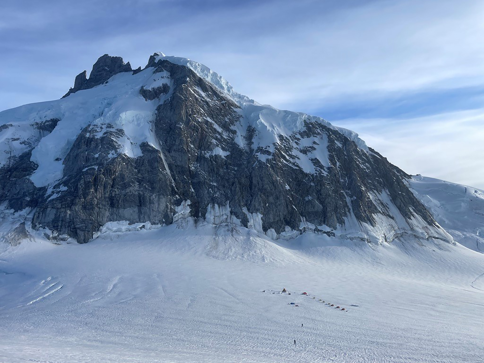
Weather records in British Columbia are 100-150 years old at best, and certainly we have no climate records in Alpine regions. High elevation Alpine regions are home to the water towers of the world—the glaciers. The southern Coast Mountains are not only experiencing slow and steady warming due to the extra greenhouse gases trapping heat in the atmosphere; they are also subject to extreme events. In 2021, there was a huge heat wave in the Pacific Northwest. Hopefully, we’re going to be able to put that 2021 event in context with the last 200 years, and I think the answer will be that it was a very anomalous event.
Ice cores allow us to gain perspective on what we’re seeing today with respect to the past. We’re always looking at that with an eye to the future. Our job as scientists is to not just learn things that are interesting; we want to learn things that are interesting and useful for society.
How far back in time do you hope the 219-meter ice core will take you?
It is still a guess at this point. We are starting to get some samples that we measured from the bottom, and it looks like the layering is quite thin—down to a couple of centimeters per year—which implies that you can fit a lot of time in between there and the part that we know the age of. To go from zero climate information in the Coast Mountains before the modern period is a huge leap, and a critical one for a broad region of water resources and fisheries.
Are there other drilling sites close to human populations in other parts of the world?
Yes: mountain glaciers. Lonnie and Ellen Thompson at Ohio State University have been collecting ice cores from nearly all of the tropical mountain glaciers since the late seventies.
Alpine ice cores are uncommon and challenging to work on, because they are in more marginal environments for preserving un-melted, layered information. They are very hard to interpret in North America. Mt. Waddington is in Southern British Columbia, and the next closest North American ice core is from Mt. Logan in the Yukon, so we’re almost a full 10 degrees latitude further south than any other annually dated ice core in North America. The only other ice cores in the lower 48 are not annually resolved.
Are the ice cores from British Columbia old enough to help us understand natural fire regimes that would have occurred before European settlement?
It’ll be hard for us to get into pre-European times there, but combined with other observations of fire variability, like lake records, we may. I can say that in our experiences drilling in British Columbia in 2010, and again in 2023, we saw a change in the forests and in the amount of wildfires. In the summer of 2023, we were literally interacting with wildfire constraints in our drilling operation. The air service we work with has its primary contract with the government to help coordinate firefighting. We restricted our aircraft movements to just before dusk, so that they could be on fires all day, every day. We had thick smoke at our site by the end of the drilling, and lightning strikes starting fires on the only road out from our air service. We had to wonder, “Are we going to be able to get our freezer full of ice cores on the back of a semi and get out of the Chilcotin region?” It was totally on fire, with super thick smoke when we got off the glacier. It was just really in your face.
I remember going there as a 20-something and the forests were just changing due to the mountain pine beetle. The evergreen forest looked like it was fall, with everything turning orange, but it was summertime. In 2023, huge swaths of that forest were just dead. The burning regime is really changing, and the linkages to climate are complicated. But there has been real change in that region just in the time that I’ve been working there. Our pilots have been flying there for nearly 50 years, and the area has certainly experienced the recession of glaciers. Most of them have large lakes at their terminuses which weren’t there 20 years ago and were barely there 10 years ago.
Let’s shift to Antarctica. Last winter, you and a team of American and South Korean scientists traveled aboard an icebreaker to the extremely remote ice rise on the Canisteo Peninsula in West Antarctica to extract ice. What does it feel like to be in that landscape?
It was absolutely incredible. Ice rises are these perfect piles of ice that ring the coastline of Antarctica. They’re unique to Antarctica and they represent these relatively perfect archives of climate in the front line of change. Change in Antarctica is coming from the coast inland and from sea level up. Antarctica is like a pancake. It is incredibly flat, but it has very steep edges. In the last 100 kilometers from inland to the coast, everything changes. You go from a 1000-meter elevation to sea level, and you go from slow flowing ice that’s really cold to potentially quite warm temperatures. It even rains along the coastline of Antarctica every once in a while, so really in a totally different region.
On the human side, it was the pinnacle experience of my life to have an idea I put on paper come to life. [In a paper published in Oceanography in 2020, Neff argued for the collection and study of ice cores from coastal ice rises near the Amundsen Sea to improve the ability to model ice shelf and ice sheet behavior to better inform sea level projections. The paper was seen by Korean glaciologist, Yeongcheol Han, who contacted Neff and proposed collaboration with the Korea Polar Research Institute’s (KOPRI) ice coring efforts—which included use of a South Korean ice breaker to travel to the region.]
Yeongcheol Han emailed me to ask where we were with this idea I had put out there and I was terrified, wondering, “Is he asking if he can take my idea?” Instead, it was just the most fantastic collaboration, and it is ongoing. The South Koreans have been incredibly generous and committed. They gave us the full resources of their primary national asset in Antarctica: the icebreaker. One of the main things I contributed was my enthusiasm, and my confidence that we could do a huge amount of work in what we knew was going to be a short amount of time. A lot of our Antarctic work tends to be very slow, steady, marathon-style field work. We set ourselves up for the opposite. This was like a sprint. I came in as the sort of crazy American saying, “We have enough time! If everything comes together, and we don’t do anything besides drill and eat and sleep, we can do it!”
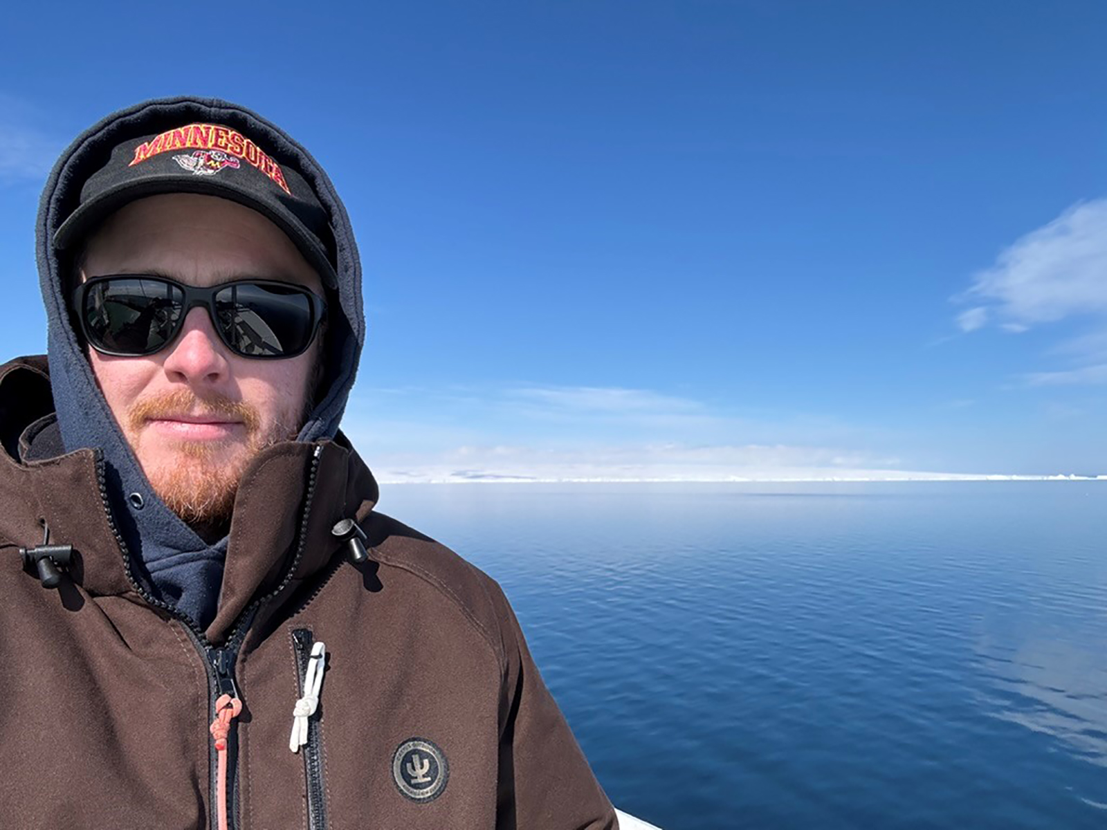
Was the time limit primarily related to logistics and the availability of the ice breaker?
Everything about collecting ice cores really comes down to logistics. There are so many factors and constraints—some you can control and some you cannot. A year and a half before your trip, you may think, “We have 35 days for science,” and that’s what you tell the operator of the ship. The operator may come back to you and say, “Sorry, we need the ship to go resupply our research station by this date,” and then you’re down to 29 days. Then, weather comes at you, or somebody is sick on a fishing vessel nearby and you have to take a day to help them. With Antarctic logistics especially, the time you set aside for science is always being whittled down, so we try to manage our expectations. I fully expected to go on this 50-day cruise and come back with nothing, but I knew that to have tried would be better than not. We actually accomplished absolutely everything we set out to. It has taken me all year to really process that.
What do you hope that the ice cores you were able to get on that expedition will help us understand about climate change and global sea level rise?
Our main goal with ice cores is to build climate records and extend them in place and time where we don’t have observations. Southern British Columbia is one place where it’s more of an opportunity, like, “Hey, there’s good ice here, and we can extend our understanding of Alpine climate back a couple 100 years.” My work in Antarctica is centered around the most concerning glacier on the planet: Thwaites Glacier. Often called the “Doomsday Glacier,” Thwaites is the size of Florida, and it is in an unstable configuration. We think it is going to continue its retreat, its thinning, and its contribution to sea level rise for the foreseeable future. We are trying to answer the big question, “How much sea level rise is going to come from that glacier and how fast?”
My pitch for these ice core records is sort of like “running to the fire.” We have no climate records from the region where the most critical glacier on the planet is. We have an entire coastline where there are no long-term weather stations. Literally, a coastline. You could fit the west coast of the US in it with room to spare. In part, this is because it’s really hard to get to due to the weather and sea ice conditions. Running towards the fire in the most hard-to-get-to place is a difficult argument.
[Our drilling site] is a very snowy place, just like Mt. Waddington, so the 250-meter deep cores we collected probably only have 150 years maximum. (We got two cores for duplication, since it is always good in science to be able to reproduce your results, and because it is good for safety. We had two freezers on the ship, so if one freezer went down, we would still have one core.) Hopefully, we will now have 150 years of climate perspective for Thwaites Glacier, which includes estimates of temperature year by year, going back through times that we think might have initiated the retreat of that glacier. There’s a pretty robust sense that strong El Ninos in the early 1940s might have given the climate push that the glacier needed to start being unstable. We’ve been dancing around that [theory] for 10 or 15 years, without really being able to confirm it. We now have the resolution in our cores to say how warm it was in 1940, ‘41, ‘42, ’43, etc. rather than relying on less direct information from far inland. We do have ice core records from relatively nearby in Antarctica. But the North American analogy I use is that it is like having a problem in San Francisco, but only having observations about it in Reno, Nevada. That’s the analogous distance, and it includes a mountain range—in this case, a whole ice sheet—in between. Now we have direct information from the source. We were 130 kilometers from the front of Thwaite’s Glacier.
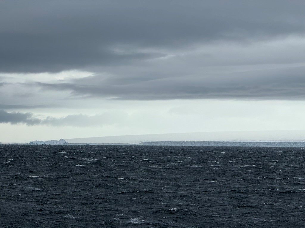
I hope we will be able to know, through the chemistry in the ice, how much salt is blown to the site from storms every year, which will give us a sense of wind trends. There is an increasing strength in the westerly winds around Antarctica that promotes some of the ocean currents that get underneath the edges of the glaciers when they flow into the ocean. There are some really complex processes that are happening there, and these climate records from ice cores can help us understand them. Is there a human-caused warning signal emerging in that part of Antarctica? We have no data to say yes or no right now. The only climate data we have for the modern period in that region are model simulations of satellite observations of clouds and wind. We just have no ground-based information. So that’s the very simplified version of what I do with my research. I want to get us new records of snow and ice that, although we don’t know the exact quality until we measure them, we know that there are annual layers of snow sitting right next to these really critical regions. I’m hopeful we also will go back with our Korean collaborators, if they will have us.
Given the complicated and challenging logistics of your research, the change you may be witnessing, and the fact you are doing long stretches of field work in extremely remote and rugged locations with such unpredictable conditions, I imagine your work can at times be scary, lonely, or even depressing. Where do you find the courage, hope, and inspiration to keep it?
The community and international spirit, particularly with Antarctic operations, keeps me hopeful that we, as a global society, will eventually get on top of the issue of the continued warming that our emissions of greenhouse gases is causing.
A huge challenge of polar or Alpine field work is that you have to separate yourself from your normal life. I have a wife, daughter, and dog, and it’s very hard to not be there for them during the three months or so that I’m away. But when I’m in the field, I’m there with my field family, and we have this very intense experience together. I mean, we call it “deploying” to Antarctica. Everybody just puts their best foot forward and contributes their entire self to the work. Antarctica is a place of incredible international coordination. On the ship, for example, if there is a medical incident anywhere in that region of the South Pacific Ocean, you, as the best equipped vessel in the region, need to respond.
It’s really hard to sift through the noise of this crazy world we live in, but I think at the base level we, as humans, are all really trying to do our best. We all want to be lifted up. My work in Antarctica gives me a sense of just how much you can do when you actually put your mind to things, and everybody does away with the noise and just steps up.
You can get me waving the flag so easily when I talk about the U.S. Antarctic Program. We are the largest operators in Antarctica by a good margin. That is true with respect to our research and science capabilities, but also our human footprint. Our main research station, McMurdo Station is six to eight times larger than any other research station there. In the summertime, we have up to a thousand people there. The U.S. Air Force is there. Our only heavy Icebreaker, the U.S. Coast Guard Cutter Polar Star is entirely dedicated to supporting operations in Antarctica, and enabling everything we do in in Antarctica, including being able to respond to any emergency almost across the continent. It’s just incredible what we’re able to do. The way that the program works, it’s not about tit for tat. If needed, a whole ski-equipped U.S. cargo aircraft is going to be on its way to any search and rescue. I think the U.S. Antarctic Program is underappreciated by the average American. It is something we all should be incredibly proud of.
How can people better support the Program and its work?
There is a range of federal agencies that we all agree to support as a society. We need to re-educate ourselves on why we choose to invest in those things. Why do we spend many billions of dollars a year supporting NASA, and exploring space? The NSF is smaller but equivalent. We are exploring the universe, trying to discover every aspect that we can that will give us an advantage as a society to keep us moving forward and keep everybody safe. The whole continent of Antarctica was only discovered in the 1800s. Nobody is up to anything nefarious down there; we are all just trying to understand the place and what it can tell us about the rest of the world. There are global lessons that can only be learned in Antarctica. Deep Antarctic ice cores provide our best understanding of how the atmosphere has changed through time. We have so much to learn from Antarctica.
Since you started your career, have you seen a change in the level of interest in glaciology and ice core paleoclimatology? What about an increase in funding.
We are seeing a proportional increase in funding with respect to how much more prominent cryospheric science has become in national and global discourse. The changing polar ice sheets is a really big issue that we all need to be understanding. As an ice nerd and professor, I would say everybody should be a glaciologist, because the future of the global sea level and our interactions with it is now in a state of change for the next centuries to thousands of years—all due to changing glaciers. Mountain glaciers are changing now, and fastest. Greenland is next, and Antarctica is slowly catching up. Discourse about changes in sea ice and changes in snow cover are very prominent, particularly in the U.S. media and certainly in social media. And there are a lot of myths and disinformation.
Talk about that.
In the last 15 years we’ve seen a change where we are communicating big results about changes we see, particularly in Antarctica. There is a need for discipline and consistency in how we talk about the last big results that disparate teams of scientists uncoordinated all around the world are producing. They can impart a sense of whiplash. For example, planning practitioners may see one result and say, “Okay, great. We finally made a decision. This is how we’re going to plan for sea level rise for the rest of the century,” and then some glaciologists come out with a splashy paper saying, something’s going to collapse right now, and those planners are like, “Hey, what?” There’s more coordination that’s needed around our communications for sure.
And more synthesis?
Yes, and more training. I’ve seen it here with a student of mine. She published her first research paper a couple of years ago, and it happened to show that the area of one feature in the ice shelves in Antarctica slightly increased over a decade of observation. The takeaway by some misinformed people on social media was, “Hey, look! Antarctica is increasing in area!” That was totally disconnected from an actual understanding or rational interpretation of the results, and it was the most viewed climate science research paper of the year.
It also did a disservice to the fact that she just put out a great core science paper. Here’s a 10-year dataset not long enough to say anything about climate or the changing Antarctic ice sheet. But it was a core contribution to the literature, and something that she should be proud of. But now it is clouded by this weird uptake of it into the misinformation sphere, particularly on Twitter/X.
Your social media posts as icy_pete [TikTok, Instagram] are very compelling. They give your followers a sense of what it’s like to be in the field with you and your team. We get the unique opportunity to peek into your tent, watch an ice core being drilled, and hear the crunching of Antarctic snow under our feet. What prompted you to share your work on social media and what kind of engagement are you seeing in that space?
The motivation came about ten years ago. My career has followed the arc of the iPhone. I had my first iPhone when I coordinated my first project on Mt. Waddington, and I was like, “Wow, I can coordinate shipments on email while I’m standing at the loading dock!” I was also taking photos. Initially, I was storing photos on hard drives, but then I thought, “Man, these things are just gonna rot in hard drives if I don’t start sharing them.”
Each platform is different. Instagram is like pretty pictures and videos, and the depth of the comments is relatively shallow, but oddly enough, it has provided me with a lot of opportunities through direct messages. That is what pulled me over to TikTok. Early in the pandemic, when schools were shutting down, a talent agency recruited me to add educational content on TikTok. TikTok wanted us to give concierge experience to educators, and they wanted to dilute the Zeitgeist of crazy content. So they gave us some feedback, and paid us a little bit to understand how to use the platform. I completely benefited from being the only TikToker with Antarctic footage during the pandemic, because nobody was going there. People thought I was there, but I was really posting [content] from our last intensive Antarctic operation, which we had done in the 2018-19 season. I probably made half of the posts with an infant in my arms, and everybody was thinking I was some sort of Antarctic hero.
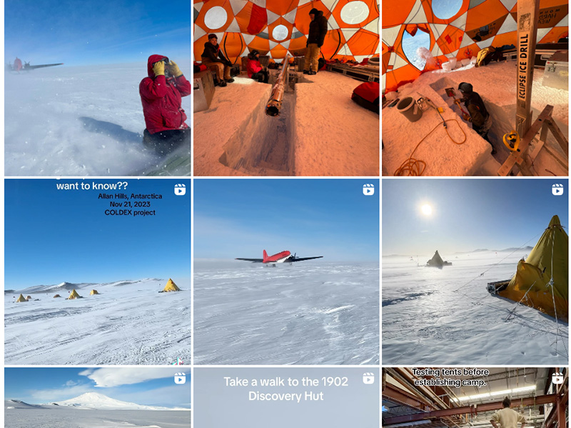
You need to have your phone and its battery near your body to keep it warm, so you keep it inside your jacket, where you can quickly take it out and capture 5-30 seconds of each stage of the process you’re engaged in, whether it’s moving equipment, drilling, or life in the camp. I now know the sort of snippets that appeal to people. I try to very directly tell what the experience is like, and that allows people to embody that experience. Naturally, they ask a lot of human questions, like “How do you poop in Antarctica?” That’s the main topic that we’re all stressed out about. And it is stressful. I’ll tell you. The answer is a five-gallon bucket. It’s not fun.
I try to stay in in my lane of, “I’m an ice core scientist. This is what ice core science is, straight up, no filter.” I am not a science journalist like Christian Elliott, who wrote the Science article about our last expedition. Christian did an awesome job, but there are little details that are different. Without 10 years of practice, I might not understand how to communicate things to the public, I’m improving over time. I can provide a pretty direct lens into what I do, and I have a very biased experience, even within my research. Having been to Antarctica seven times is very, very uncommon, especially for somebody young (Okay, I’m pushing 40, but I got into this young.)
Has there been anything in the social media sphere that has made you feel hopeful for the future, in terms of the attention that that this work is getting in spaces like TikTok.
I am one of the first wave of millennial professors, and it is obvious to me that our content needs to be on these platforms where everybody’s eyeballs are. Whether they’re getting good information or total nonsense, that’s where they are going, so we need to be there diluting all of the bad information. It is sort of an extracurricular component of our responsibility as researchers, and particularly as a faculty member.
In addition to bringing new audiences to ice core paleoclimatology, do you think your use of TikTok, Instagram, etc. is bringing more scientists into social media?
Definitely, and some are realizing that it’s very hard to do. I definitely lean on the Antarctic footage and the field aspect of things, which is a practical reality of what we do as glaciologists. I have a hook that draws people in. But there are people all across the science spectrum who are very good at this. A favorite of mine just in STEM education is André Isaacs, a chemistry professor at Holy Cross. What he is doing as an LGBTQ person in chemistry is incredible, and so much braver than anything I do.
PhD students are also doing this really well. We had a PhD Student named Austin Carter at one of our COLDEX camps in Antarctica the last two seasons who is amazing on social media. We were the first camp to have Starlink in Antarctica so he was sharing content live from Antarctica. He has eclipsed me. I really hate being on the camera, but I’ve gotten better at it. You know, the last thing I want to do, especially as leader of a project, is to be out there holding up a selfie stick, but I do see the value, and there is a ton of opportunity out there for good communication.
Most Leaf Litter readers are not out on ice rises in Antarctica, grappling with helicopter drop offs. But they do face challenges in implementing nature-based solutions, whether they involve funding, building community understanding, navigating antiquated policies or regulatory hurdles. As someone whose work involves overcoming so many challenges, do you have any advice for our readers?
The real work we all need to do is often not seen. There are aspects of my work that are very flashy and visible on social media, but that is probably about 10% of my time. The remaining 90% is the other stuff: reimbursements, proposals, budgets, advising, teaching, having space to be myself and to be a dad and husband.
Folks trying to make communities more resilient may not get millions of clicks in the media ecosystem in which we all live, but that doesn’t mean it’s not important. It’s actually the most important work. We need to be doing it at all scales and we also need to be appreciating and thanking people. My wife, Heidi Roop, runs the Minnesota Climate Adaptation Partnership. She is actually on detail at the White House Office of Science and Technology Policy this year. She wrote a book called The Climate Action Handbook, which contains 100 graphically illustrated actions that the average human being can do to advance progress. One of those actions is to express gratitude: thank people for the work that they are doing. We are all doing really hard, big, human things, and we don’t always stay totally motivated and confident. Feedback really helps. So keep doing your service. Just stay busy!
